Bali awakened by a mild earthquake on the slopes of Bali's most active volcano.

Bali awakened by a mild earthquake on the slopes of Bali's most active volcano.
This morning at 04:18 Bali time my family was awoken by severe shaking of her home on the beach in Bali.

Our normal protocol is to exit the house and check the news in case it was an offshore earthquake that could possibly trigger very rare Tsunami.
As I searched eagerly for news of the earthquake's location I found it substantially longer than normal.
Perhaps everybody has lapsed off over the years as her has been no major earthquakes near us recently.
I did note on several posts on Facebook were reporting that they were shaken awake as well.
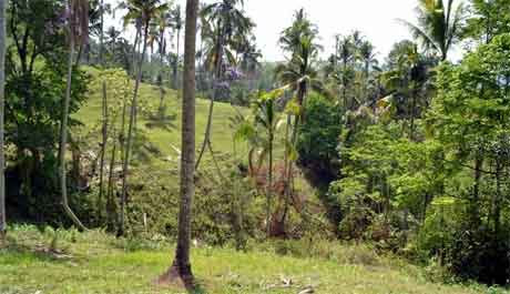
Approximately 10 minutes later we finally got the news that the earthquake occurred in a very unusual location on the slopes of Bali's most scenic and dangerous 3,200 m volcano Mount Agung which erupted in 1967 and 2017.

This mild quake occurred very close to Besakih Temple, the most famous and scarred temple in Bali. I am praying there was no damage.

The 4.8 magnitude was probably not enough to cause any damage or injuries in volley, but it concerns me because of its location.

It is not on any known fault lines but at the base of this massive for Volcano.
I'm not a scientist but I did study the last Volcanic eruption very closely because of my home is close only approximately 33 km away.
I do know from my own experience that I was also sitting on a beach the very first time there was a volcanic eruption of Agung in 2017 which was preceded by several earthquakes.
Earthquakes prior to 2017 Eruption
A swarm of earthquakes (M2.3-3.9) was recorded in mid-May 2017, located NW of the Batur caldera, with a maximum reported intensity of MMI III.

After several months of gradual increases, earthquake rates and seismic energy increased rapidly between 16 and 22 September 2017 from tens of earthquakes per day to hundreds of earthquakes per day (Fig. 2).
Felt reports and seismic-wave-arrival times on local stations suggested that the observed volcano-tectonic (VT) earthquakes were located between Mount Agung and Batur Caldera (i.e., NW of Agung). However, regional hypocenter solutions produced by BMKG initially suggested that the events were closer to Mount Agung (Fig. 3).
Seismicity peaked on 22 September with >800 earthquakes of magnitude >1 recorded by the CVGHM seismic network (Fig. 2B). Earthquake magnitudes also increased, with a M4.2 (BMKG) that occurred on 26 September. These earthquakes were all high-frequency, VT earthquakes.
Should We Be Worried?

So, the question is should we be worried about a volcanic eruption?
My answer now is the same answer that I gave way back in 2017 after I did extensive research on prior volcanic eruptions in Bali.
I even went so far as to travel up to the base of the volcano and sit down and interview the government officials on the edge of the volcano who were studying it with sophisticated instruments every second.
The answer is unless Agung is far worse than its historic eruptions there is nothing to worry about.
The only people who must worry are those near the volcano within 14 to 20 km range.

This excludes practically all resort areas in Bali which are much farther away.
I will be watching closely any other earth movements in case they began to increase in magnitude.
Stay tuned to Bali + World News & Views for the latest information on this.


No comments:
Post a Comment